
Streamflow Visualization Tool
As the climate warms, people want information on what to consider as they plan for potential changes in streamflows.
The following visualizations show a large set of outputs from a modeling study conducted by researchers at the University of Washington Civil and Environmental Engineering Department and supported by several organizations with a common interest in understanding a potential range of future conditions, including Seattle City Light, Swinomish Indian Tribal Community, and the Sauk-Suiattle Indian Tribe in partnership with the Skagit Climate Science Consortium.
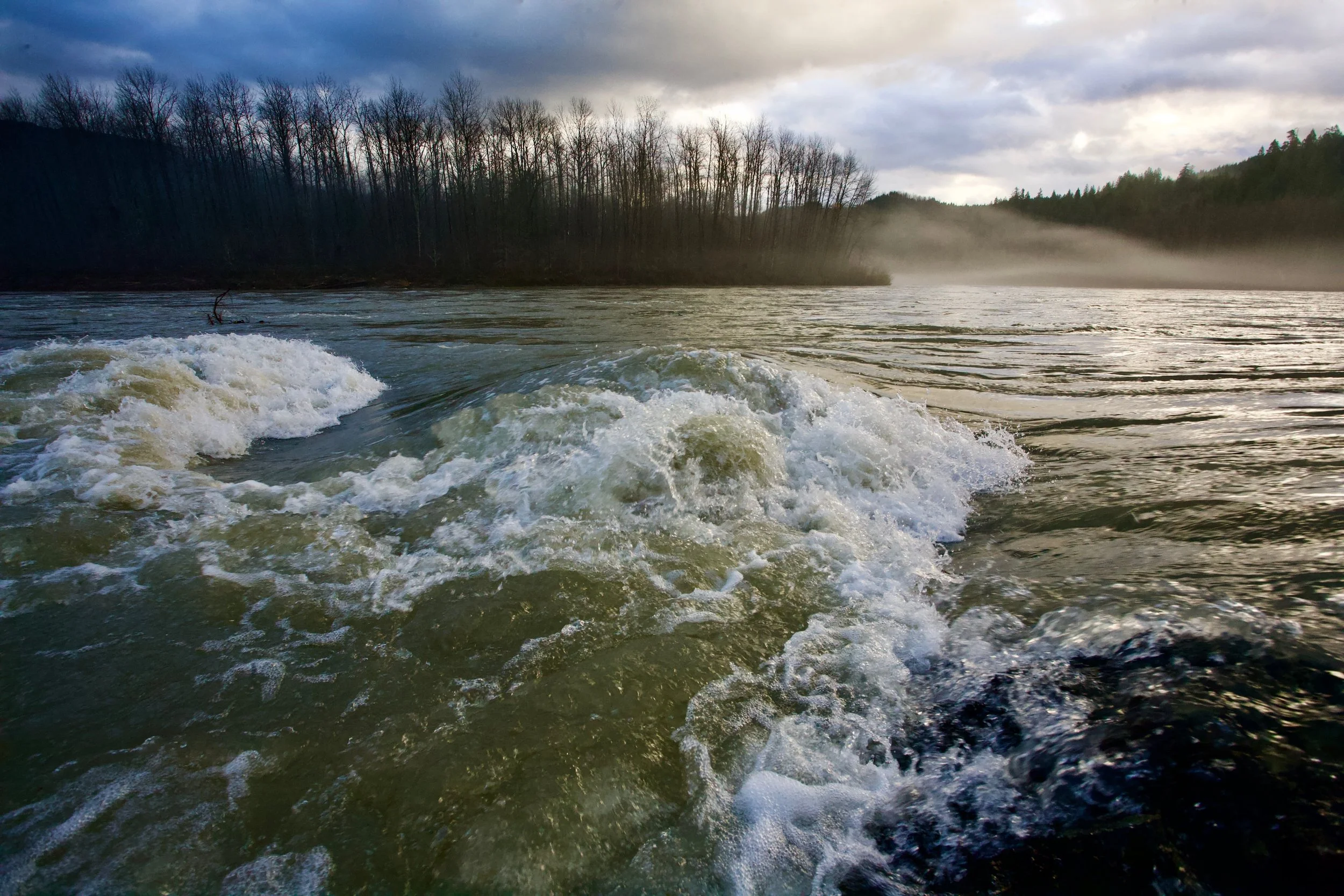
Skagit River, Concrete
© Tim Palmer
Streamflow Impact on Skagit Watershed
Explore the Streamflow Visualization Tool for modeled projected changes in the following 20 locations
Red Cabin Creek
Finney Creek
Jackman Creek
Illabot Creek
Cascade River
Jordan Creek
Bacon Creek
Marblemount to Newhalem
Gorge
Diablo
Thunder Creek
Ross
Sauk River near Sauk
Big Creek
Sauk River at Darrington
Sauk River above Clear Creek
Sauk River above White Chuck
White Chuck
North Fork Sauk River
South Fork Sauk River
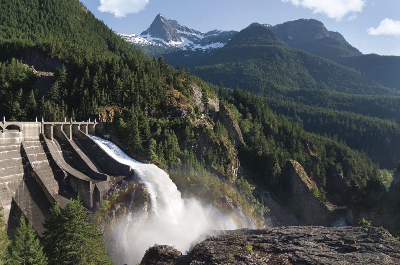
Diablo Dam
Image Source: Getty Images