
Understanding Current and Future Skagit Flood Risk
2025-2026
Climate change is fundamentally altering the Skagit River’s behavior.
Projections indicate more frequent flooding events, increased depth of floodwaters and expanded geographic extent of flooding.
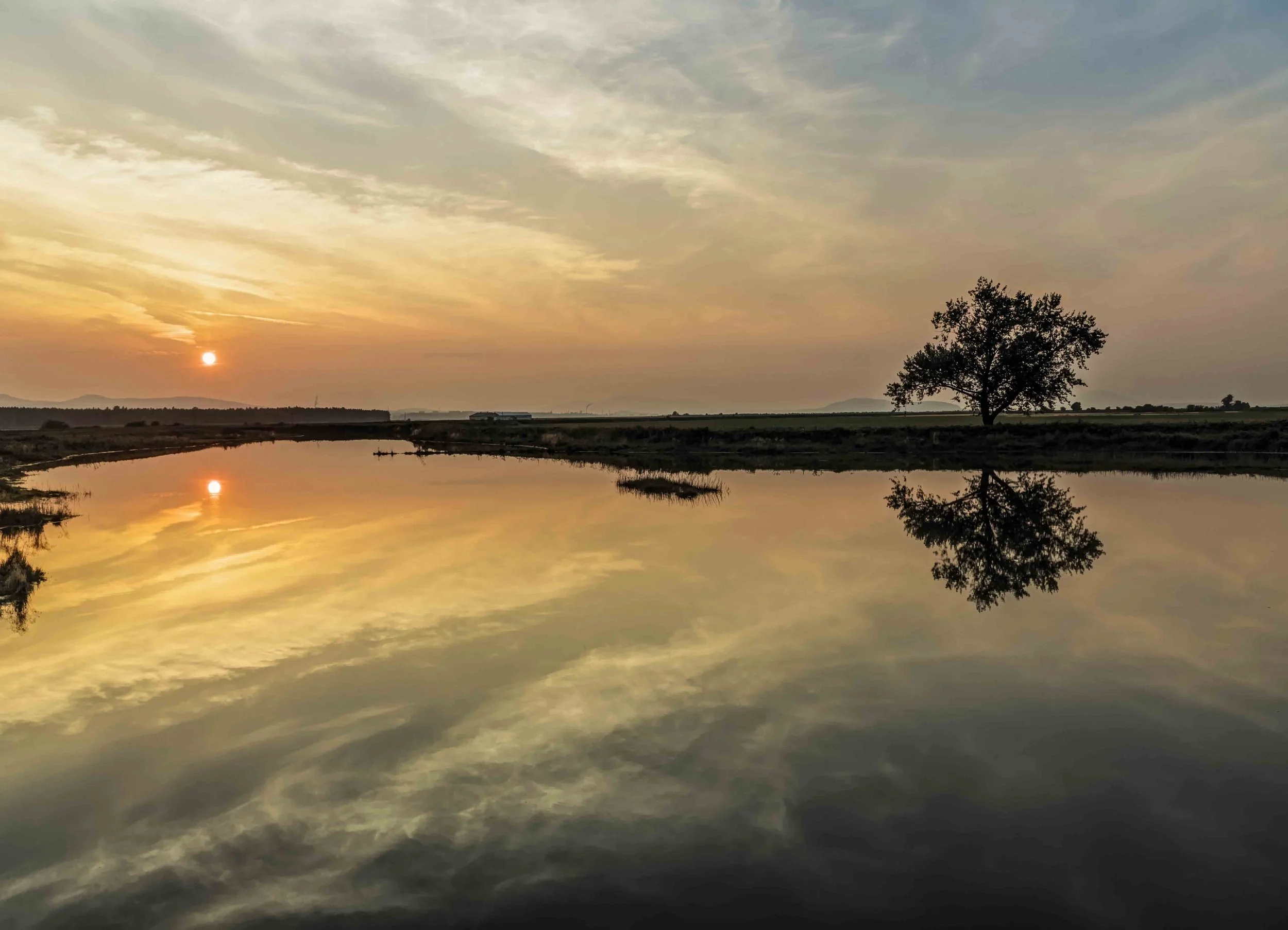
Padilla Bay Sunset, Padilla Bay © Andy Porter
The Project
The Understanding Current and Future Skagit Flood Risk Through New Modeling Capabilities project was led by the Swinomish Indian Tribal Community and designed to build upon the best available science to create an updated, climate-informed model of flooding in the Skagit watershed.
The new flood model was intended to foster a shared understanding of flood risks. Project Partners included the Skagit River System Cooperative, University of Washington Climate Impacts Group, and the Skagit Climate Science Consortium.
Goals
Developing a Modernized Hydraulic Model: Creating an accessible, high-resolution hydraulic model covering the Skagit and Samish rivers, from their deltas upstream to Marblemount. The flood model incorporates the most up-to-date information on river and coastal flooding, dike failures, and future climate projections.
Building Shared Understanding: Engaging tribal, local, and state governments, as well as the agricultural and environmental sectors, to raise awareness about current and future flood risks, describe the model and modeling results, and gather feedback on the approach and outputs.
Visualizing Results: Providing clear, visual representations of flood depths, extents, velocities, and durations to help the public and officials anticipate risks.
Outcomes
Explore our resources below.

Report Resources
-
The 345-page full report provides background on the project including purpose, project team, and community engagement in addition to an overview of basic Skagit hydrology, examples of how different storms create different flood events based on that hydrology, and the effect of climate change on future flooding. The report also includes background and context for the map products, and all appendices. (78MB)
-
The 49-page main report includes all content from the full report except appendices. (7.9MB)
-
View additional technical information on the hydraulic model developed as part of this project including previous studies and data collection, model assumptions and capabilities, model scenarios, flood hydrology and tides, flood model development, model output, and technical conclusions and recommendations. (3.8MB)
Northwest Hydraulics Consultants
-
View map product bundles that include flood depth, depth-velocity hazard and duration maps for the following areas:
Full Appendix B (53MB)
Full Appendix B: High Resolution Images (214MB)
Upriver Map Bundle: Marblemount to Sedro-Woolley (18MB)
Lower River Map Bundle: Sedro-Woolley to Skagit, Padilla, and Samish Bays (21MB)
Coastal Map Bundle (9MB)
Dike Failure Scenarios (7.1MB)
-
View slides presented to a broad range of people and entities including local, state, federal, quasi-governmental, tribal and NGOs on June 5, 2025. Slides were not developed as a standalone product but were made available until full report was completed. (14MB)
-
This study focused on identifying potential solutions for managing flood risk in the Skagit River basin. The Draft Skagit River Flood Risk Management General Investigation study was prepared by the U.S. Army Corps of Engineers. The GI study lasted from about 1993 through 2015 when Skagit County withdrew, citing concerns about costoverruns and specific aspects of the analysis. (137KB)
Animations
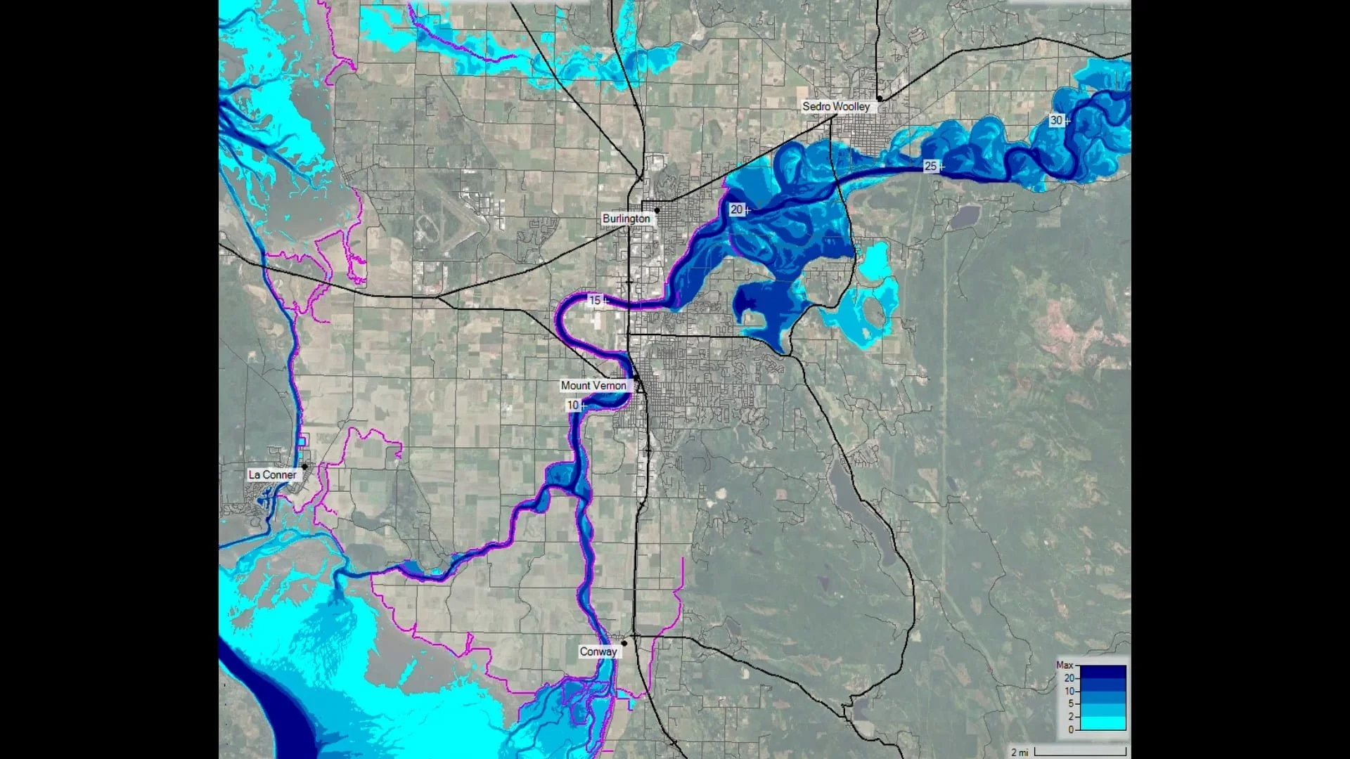
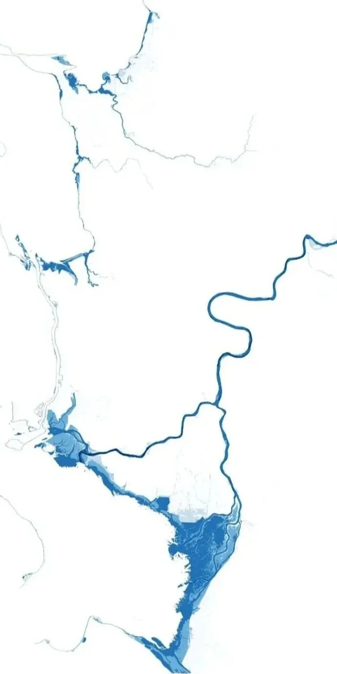
Animations show flood waters advancing then retreating based on an occurance interval (10-, 25-, 100-year), a timeframe (historic, 2040s, 2080s), or tidal cycle.
They can be useful to understand possible flood timing and the progression of flooding over the course of an event such as when roads or flood insfrastructure overtops, how flows expand, or other factors.
Disclaimer: Animations should be used at your own risk. Animations are provided without any warranty of performance or fitness for a particular purpose. They should not be depended upon as a sole source of information as they illustrate potential scales of flooding rather than exact locations and do not account for real-time changes like erosion, dike failures, larger-than-modeled events, flood fighting activities or other factors. Animations do not capture flood extents nor depths projected beyond a 1% annual change of exceedance or a 100-year flood event.
Upriver Flooding: Marblemount to Sedro-Woolley
Lyman & Hamilton | 2080 | 100-Year River Flood Depth Animation
Sedro-Woolley | Historic | 100-Year River Flood Depth
Sedro-Woolley | 2080 | 100-Year River Flood Depth Animation
Middle Skagit | 2040 | 25-Year River Flood Depth Animation
Concrete & Marblemount | 2040 | 25-Year River Flood Depth Animation
Lyman & Hamilton | 2040 | 25-Year River Flood Depth Animation
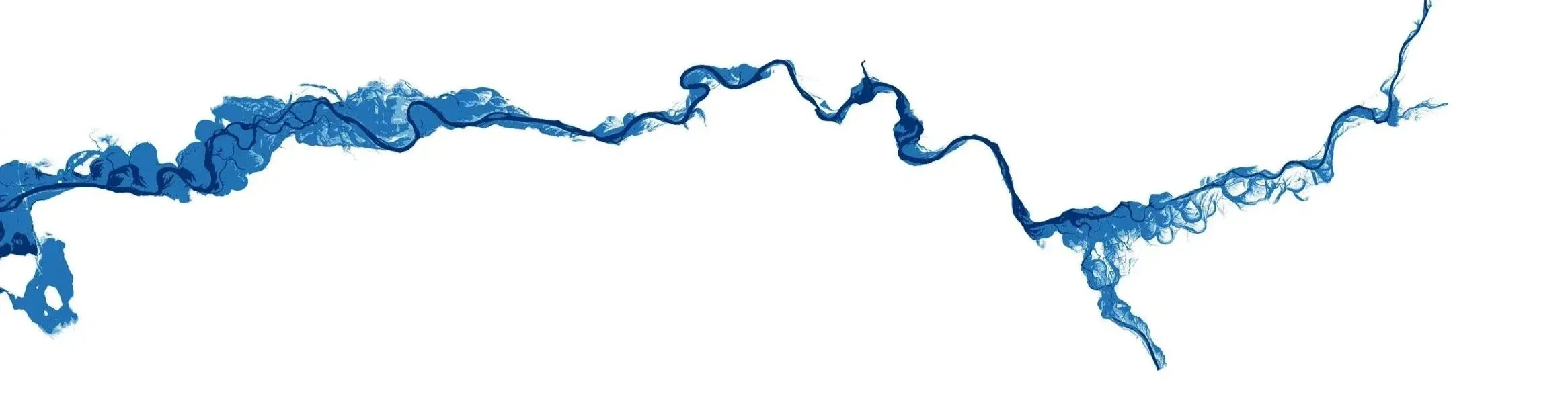
Sedro-Woolley to Burlington | Historic | 100-Year River Flood Depth Animation
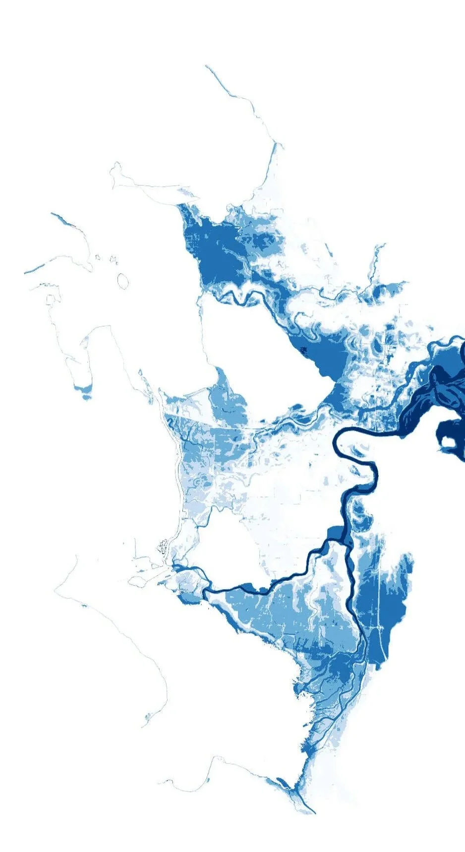
Lower Skagit River Flooding: Sedro-Woolley to La Conner
Lower Skagit River | Historic | 100-Year River Flood Depth Animation
Lower Skagit River | 2040 | 25-Year River Flood Depth Animation
Mount Vernon | 2040 | 25-Year River Flood Depth Animation
Mount Vernon | 2040 | 100-Year River Flood Depth Animation
La Conner | Historic | 100-Year River Flood Depth Animation
Coastal Flooding
La Conner | 2040 | 100-Year Coastal Flood Depth Animation
La Conner | 2040 | 100-Year Coastal Flooding Depth Slow Animation
Samish Bay | 2040 | 25-Year Coastal Flooding Depth Animation
Partners
Funding for this work was provided by the National Fish and Wildlife Foundation. The project is a collaboration between the Swinomish Indian Tribal Community, Skagit River System Cooperative, Skagit Climate Science Consortium, and Climate Impacts Group at University of Washington.
The work would not have been possible without the technical expertise and contributions of Northwest Hydraulic Consultants. The new flood model was built on an existing model developed by the United States Army Corps of Engineers, who graciously shared their model for use in this project.
The views and conclusions contained in this document are those of the authors and should not be interpreted as representing the opinions or policies of the U.S. Government or the National Fish and Wildlife Foundation and its funding sources. Mention of trade names or commercial products does not constitute their endorsement by the U.S. Government, or the National Fish and Wildlife Foundation or its funding sources.





Additional Resources
11/03/2025 Skagit River Flood Project Team Presentation to Skagit County Commissioners Work Session
The results shown in this tool are not based on the new hydraulic model outputs found in the 2026 flood report, but a coarser level application described in Hamman et al., (2016).