
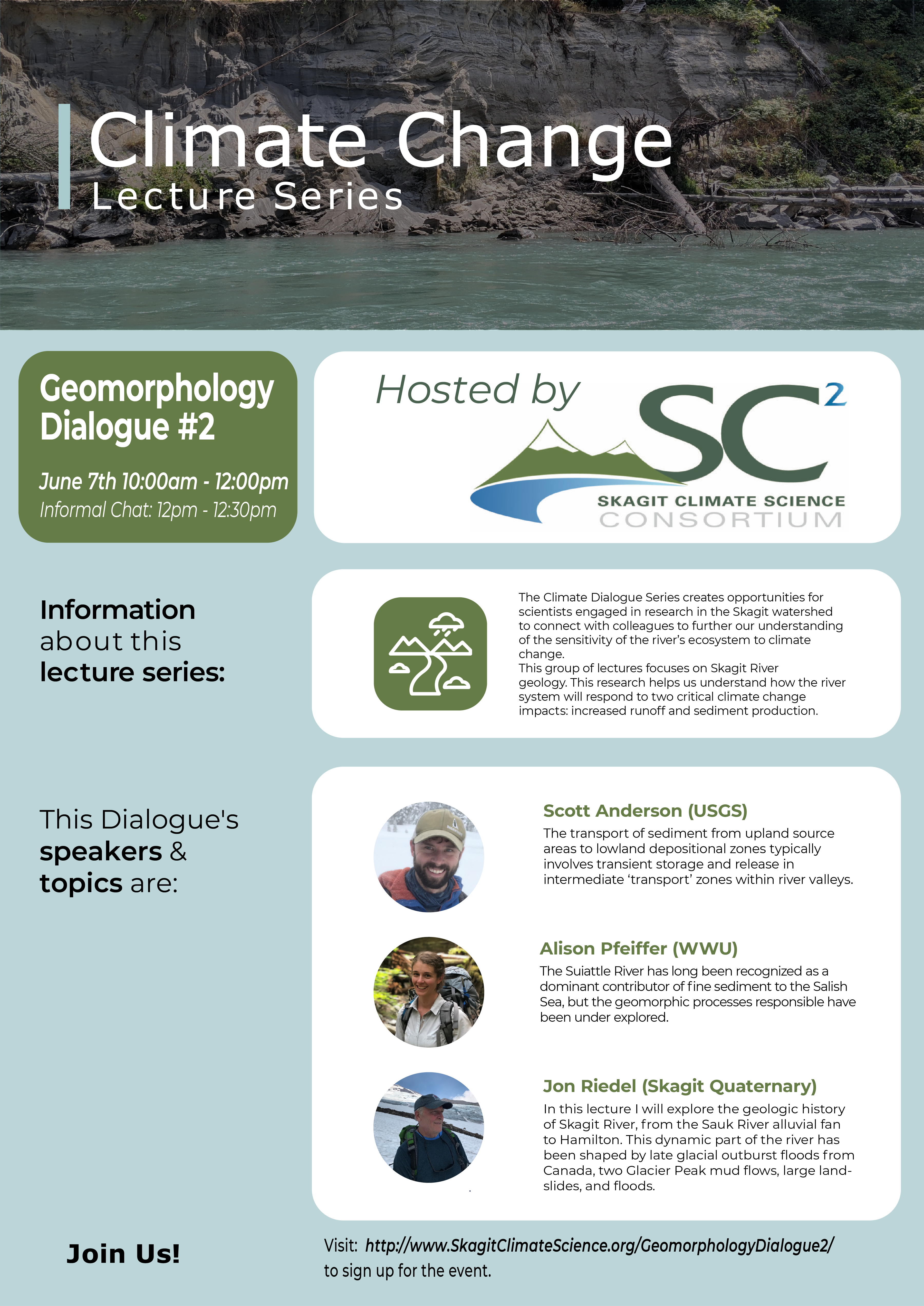
SC2 Geomorphology Dialogue #2 — June 7th, 2022
In this dialogue, lectures will focus on Skagit River geology. This research helps us understand how the river system will respond to two critical climate change impacts: increased runoff and sediment production. Below the poster please find Vimeo links of each speaker’s presentation and a link to their PPT slide deck. At the end of this webpage, a full version of the event is also available.
Bios and Referenced Speaker Publications:
Scott Anderson
PDF of Presentation Powerpoint: Scott Anderson’s Presentation
Sediment Storage Dynamics in the Lower Sauk River Watershed
The transport of sediment from upland source areas to lowland depositional zones typically involves transient storage and release in intermediate ‘transport’ zones within river valleys. The dynamics of these transient storage zones are central to understanding if or how a given disturbance, such as climate change, may ripple through a watershed. We used a combination of repeat topography, sediment transport monitoring, and gravel lithology characterizations to better understand storage dynamics in the lower Sauk River watershed.
Allison Pfeiffer
PDF of Presentation Powerpoint: Allison Pfeiffer’s Presentation
Sediment Supply and Bed Material Abrasion in a Muddy River Draining a Crumbly Volcano
The Suiattle River has long been recognized as a dominant contributor of fine sediment to the Salish Sea, but the geomorphic processes responsible have been underexplored. I will discuss my group’s recent work documenting the debris flow history of the Suiattle basin, as well as the abrasion-mediated downstream fate of that sediment. (More extended abstract below.)
Jon Riedel
PDF of Presentation Powerpoint: Jon Riedel’s Presentation
The Late Glacial and Holocene History of Skagit Valley and Sauk River Alluvial Fan
This talk will explore the natural history of Skagit River since the last ice age, from Gorge Dam to Hamilton. The primary sources of data are 1:6000 scale landform maps identified from a 2017 Lidar survey and natural exposures of fluvial terraces along streambanks. Highlights to date include the identification of deposits from two Glacier Peak mudflows, landslides that crossed Skagit River, and evidence of significant early incision of glacial outwash surfaces.
Watch the Full Event Below.
Referenced Publications:
Pfeiffer, A. M., Collins, B. D., Anderson, S. W., Montgomery, D. R., & Istanbulluoglu, E (2019). River bed elevation variability reflects sediment supply, rather than peak flows, in the uplands of Washington State. Water Resources Research, 55
To access the paper, Click Here!
Anderson, S.W. & Shean, D. (2021) Spatial and temporal controls on proglacial erosion rates: A comparison of four basins on Mount Rainier, 1960 to 2017. Earth Surface Processes and Landforms, 1–22.
To access the paper, Click Here!
Riedel JL, Telka A, Bunn A, Clague JJ (2021). Reconstruction of climate and ecology of Skagit Valley, Washington, from 27.7 to 19.8 ka based on plant and
beetle macrofossils. Quaternary Research 1–19
To access the paper, Click Here!