Hydrodynamic Modeling Analysis for Crescent Harbor Restoration Design
SRFB Grant through Skagit River System Cooperative (SRSC): $20,000, 2008
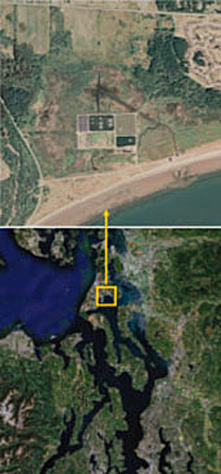
Background and motivation: Crescent Harbor salt marsh is a pocket estuary located on the Naval Air Station base on Whidbey Island. The salt marsh was once the largest open barrier-island salt marsh (approximately 300 acres) in the basin. Prior to the restoration, it was diked and ditched with minimal tidal exchange through culverts. SRSC proposed restoration of this salt marsh for juvenile salmon rearing habitat by providing better fish access and improved tidal exchange. Restoring this salt marsh would require modification of the nearshore environment through actions such as opening the tidal inlet, excavating the channel, replacing tide gates that currently obstruct the full tidal circulation and limit the functionality of the marsh as fish habitat.
There was concern that full restoration involving removal of tide gates could cause overflow of water across the dike that protects the Wastewater Treatment Plant (WTP) operated by the City of Oak Harbor. There was also a strong consensus that the access road would be overtopped as well. The approach was to conduct a hydrodynamic modeling assessment of the proposed restoration alternative to address the above concerns and select an effective design configuration.
Objective: The overall objective of this task was to conduct a modeling-based feasibility evaluation of restoring the Crescent Bay salt marsh. This evaluation would provide information to answer questions about the feasibility and long-term stability of the inlet opening, tidal channels, new culvert installments and concerns about water overtopping the WTP levee during storms.
Project Team: Pacific Northwest National Laboratory (PNNL) and SRSC.
Project Highlights and Outcome: Hydrodynamic analyses were conducted for 100-yr storm conditions to explore the potential impacts of several restoration alternatives. Specific highlights were as follows.
- The low elevation (~6 ft) of Pioneer Way would likely be inundated by a flood tide.
- During a100-yr storm, the south dike of the WTP, the access road, and Pioneer Way would be completely flooded.
- Potential scouring at the inlet and opening at the NE dike could occur. These results provided design specifications for armoring to prevent the potential erosion due to high velocity during the flooding or ebbing tide.


